HKBU co-organised Webinar series on Geo-Information in Smart Societies and Environment (GISSE) to promote collaborative research in geo-computation studies
The webinar series "Geo-Information in Smart Societies and Environment (GISSE)" jointly organised by by the Centre for Geo-computation Studies and Department of Geography, Hong Kong Baptist University (HKBU) and co-organized by Remote Sensing (MDPI) and International Journal of Geo-Information (ISPRS) was successfully held on 11 March, 25 March, and 8 April 2021, with more than 45,000 participants in total from mainland China, Hong Kong, Australia, Singapore, Switzerland, and the United States, etc. The talks were live broadcast to multi-online platforms, such as Zoom, Bilibili, Sciforum, and Xiaoetong, in order to interact with attendees from different parts of the world. The webinar was also an event of the 50th Anniversary Celebrations of Faculty of Social Sciences.
Transforming into a smart city and environment is a hot topic around the world. Geographical data and information are widely spread and available today. The webinar series explored the role of geo-information in investigating scientific questions in urbanized areas and natural environment as well as in developing and implementing the concept of smart cities and environment. Speakers at the webinar series illustrated various geo-information studies in smart cities and environment for better understanding human-environment interactions.
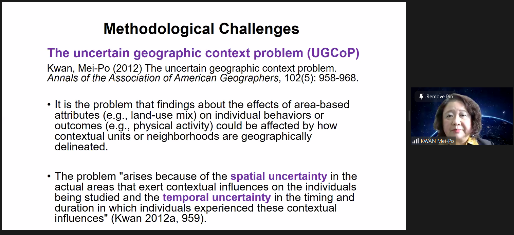
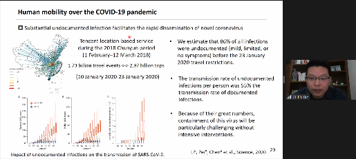
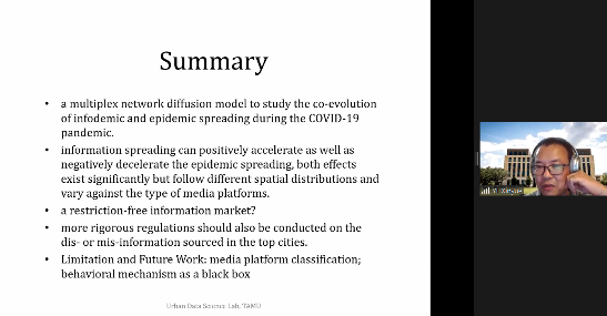
On 11 and 25 March, three renowned speakers – Prof. Mei-Po Kwan (The Chinese University of Hong Kong), Dr. Bin Chen (University of California, Davis), and Dr. Xinyue Ye (Texas A&M University) – shared their insights on tackling the challenges of healthy cities and societies by applying a wide range of geographical tools and methods, particularly at local and regional scales. Faculty members and research students from local and overseas institutions actively participated in the seminars.
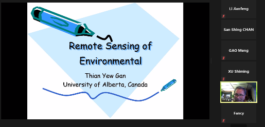
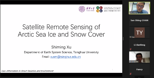
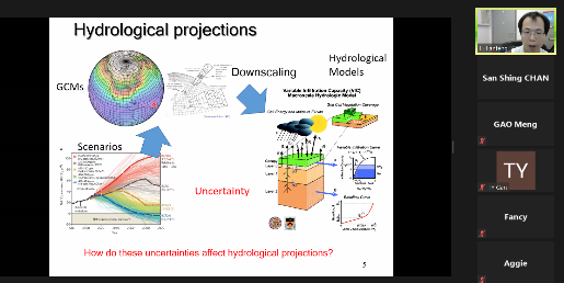
On 8 April, three talks on geo-information in environment were delivered by Prof. Thian Yew Gan (University of Alberta), Prof. Shiming Xu (Tsinghua University), and Dr. Jianfeng Li (HKBU). The environmental issues, challenges, prospects, and practical examples in conjunction with geo-information technology applications were highlighted in the seminar sessions, which received overwhelming participation online.
The GISSE was a great success, thanks to the Multidisciplinary Digital Publishing Institute (MDPI), Koushare (蔻享學術), and Research Cloud (科研雲) for webinar series publicity and live broadcast.